OpenStreetMap
Mapping marked hiking trails in Czech Rep.
 Miroslav Suchý - miroslav.suchy.cz/presentations/2016-OSM-LabeElbe/
- first marked trail in 1874
- most dense network in EU
- considered most sophisticated in the world
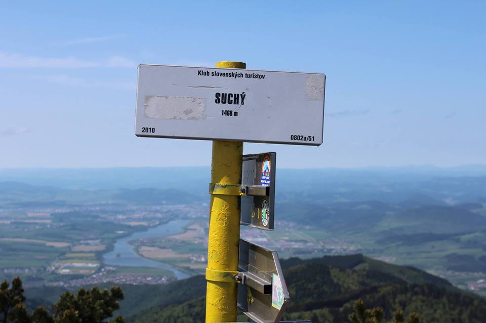
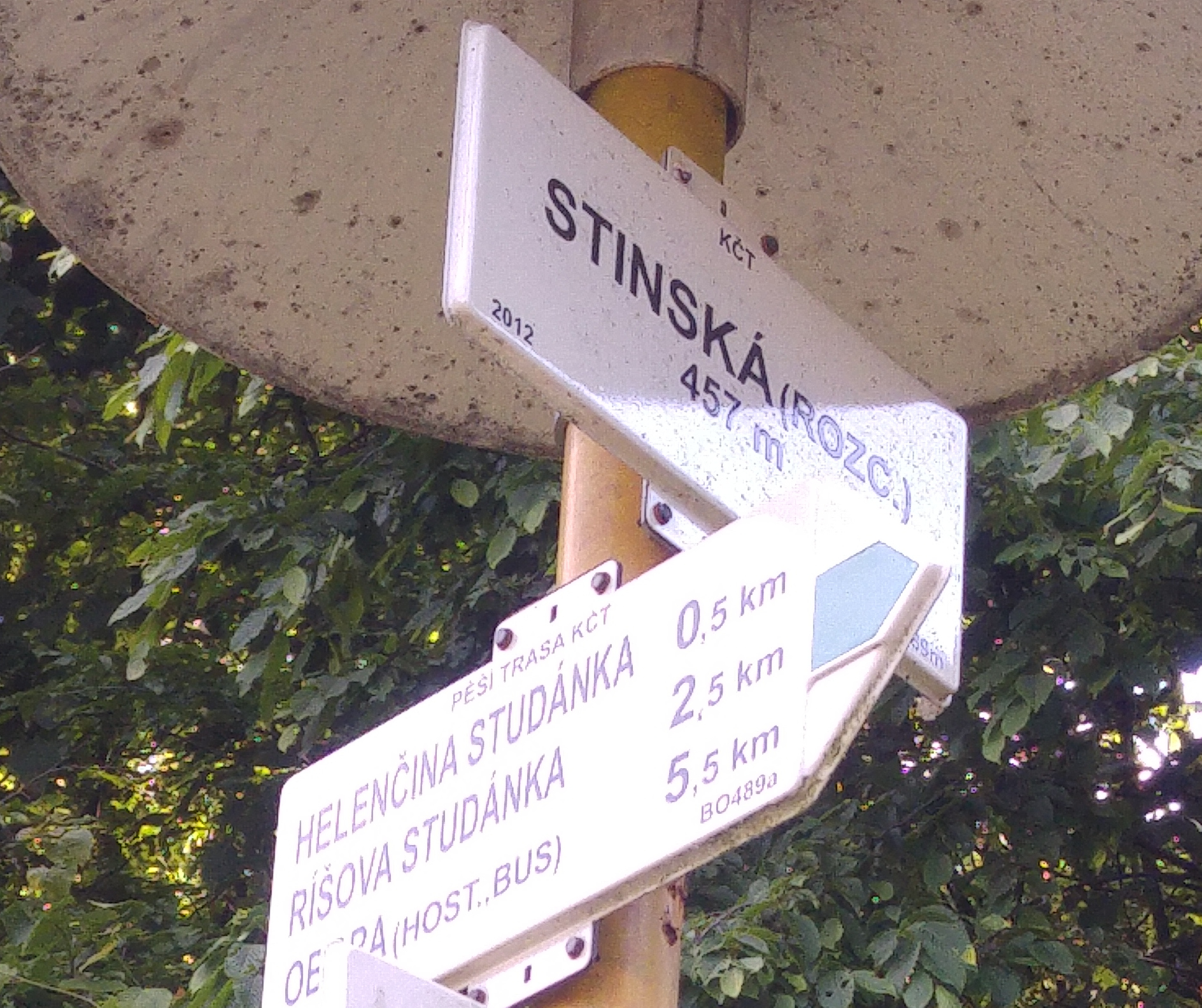
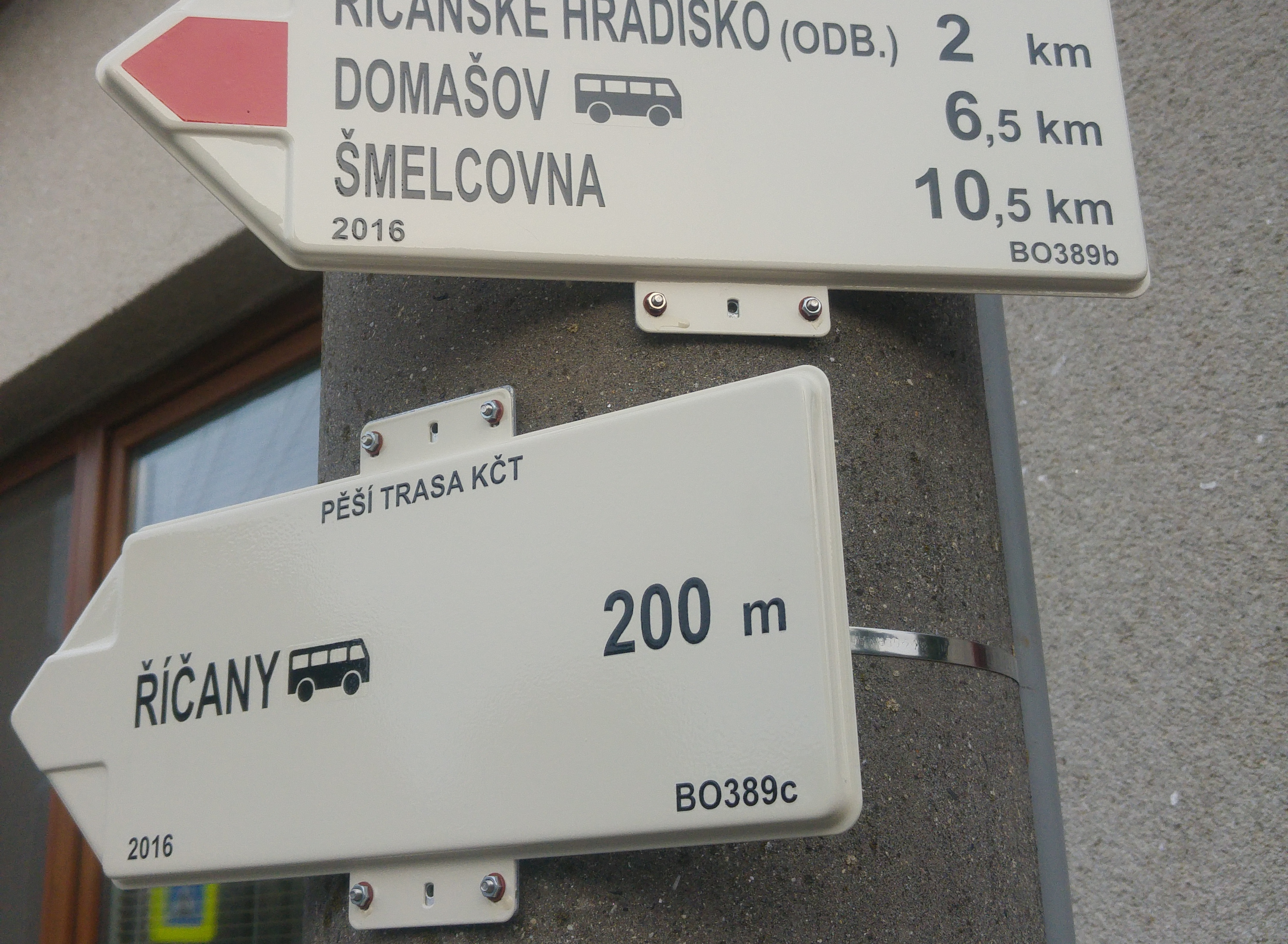
- 3000 guidposts, 40k km trails, 1600 maps
- plus horse, bike, MTB, wheelchairs trails
- KČT
KČT
- 30k members
- 1400 maintainers
- each trail should be checked every 3 months
- data are proprietary
What is "done" and "validated"?
- trust previous mappings?
- done even when guideposts are missing?
- done when ref is missing?
- fine with "done" not ok for "validated"
- db of guideposts' photos @openstreetmap.cz
Other problems
- Marked trails only in map
- location of biking guidepost
- color of trails and tag kct_barva=
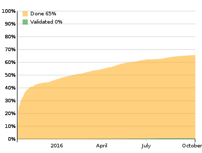
Progress
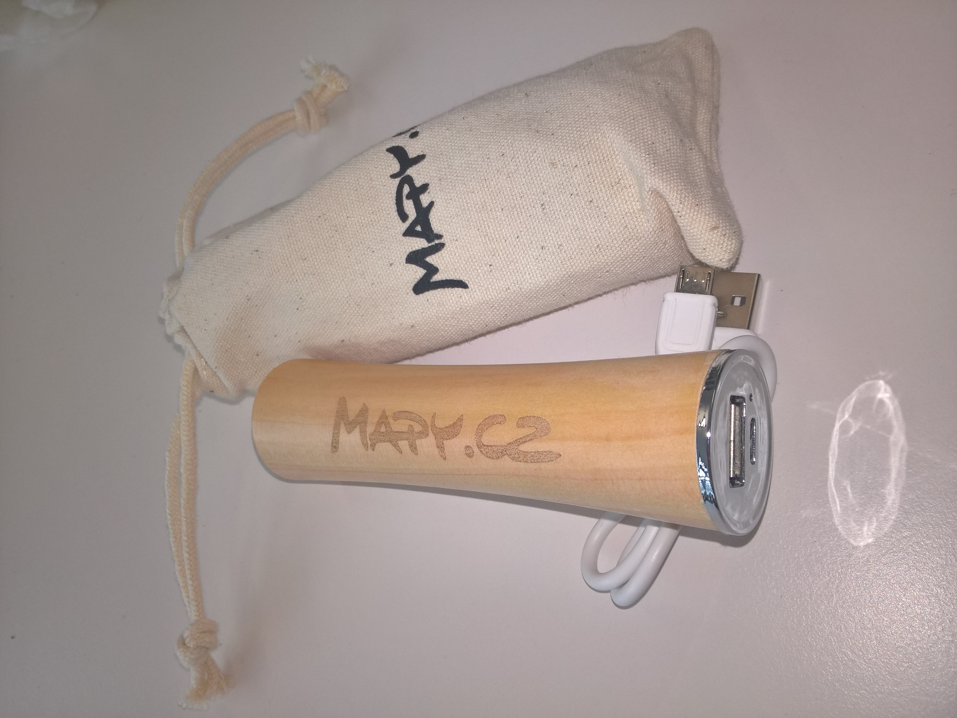
Challenge
map more than 100 km of trails and get powerbank. Write to miroslav@suchy.cz.